
Discover the Joy of Exploring England with Goldeneye
Goldeneye is an independent publisher of English Travel Guides, specializing in Guidebooks, Map-Guides, and Walking Books/Map-Guides. We have a passion for design, photography, and cartography. We create beautifully crafted, tactile publications that inspire adventures…
Introducing Our 2026/27 Map-Guides
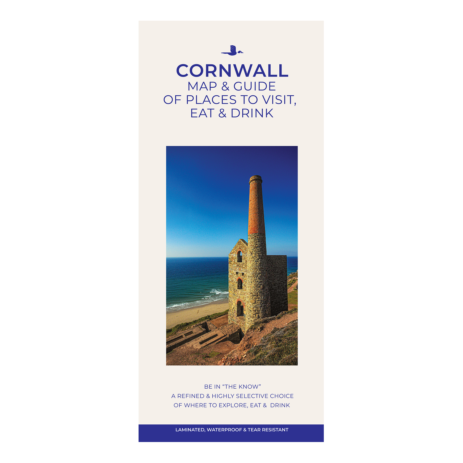
Cornwall, folded into your pocket. A single sheet, printed on both sides and concertina folded. One side is a large-format map of the county at 1:126,720, drawn from scratch by our own cartographers. Turn the sheet over and the entire reverse is given to more than thirty colour photographs and the writing that goes with them — the beaches, harbours, gardens, galleries, kitchens and coastal pubs we think are actually worth the drive.
Printed on matt-laminated stock that's waterproof and tear-resistant, so it survives the boot of the car, a wet day on the South West Coast Path and a full fortnight of being folded and refolded.
What's inside
Independently designed cartography at 1:126,720 — no licensed base map, no compromises
Two-sided: map on one side, places to visit, eat and drink on the reverse
Single sheet, concertina folded to 285 × 125 × 5mm — opens flat, no binding
30+ colour photographs with accompanying text
Matt laminated both sides — waterproof and tear resistant
Opening times listed throughout
EAN 978-1-85965-321-0
Where to explore
Beaches and surf breaks · castles · the South West Coast Path · countryside walks · cycling trails and traffic-free family routes · farm shops · fun parks · galleries selling original art and craft · gardens · great churches · harbours · historic buildings · landscapes · mines and engine houses · museums · National Trust properties · nature trails · prehistoric sites · scenic villages · sea and wildlife safaris · steam railways · towns
Where to eat, drink and sleep
Bakeries · beach bars and cafés · boutique hotels · breweries and distilleries · fine dining · inns with rooms · pub grub and ale houses · restaurants with rooms · vineyards
Featured in this guide
Hotel Tresanton · Gurnard's Head · Cadgwith Cove Inn · Porthminster Café · Stones Bakery · Strong Adolfo's · Ardor · Argoe · Outlaw's Fish Kitchen · Paul Ainsworth at No. 6 · The Seafood Restaurant · Treguddick Distillery · The Moth & The Moon · Cast Café · Flora Café · New Yard Restaurant · Provedore · Truro Cathedral · Jamaica Inn · The Eden Project · The Lost Gardens of Heligan · Lanhydrock House · Great Cornish Food Store · Nancarrow Farm · Polgoon Vineyard · AK Wildlife Cruises · Tate St Ives · Newlyn Art Gallery · Cornwall Contemporary · Tresabenn Studio · Land's End
Why Goldeneye
We don't take payment for inclusion and we don't run on algorithms. Every place in this guide is here because we went, we looked, and we thought you'd want to know about it. A fully comprehensive and genuinely independent guide to Cornwall, at your fingertips.
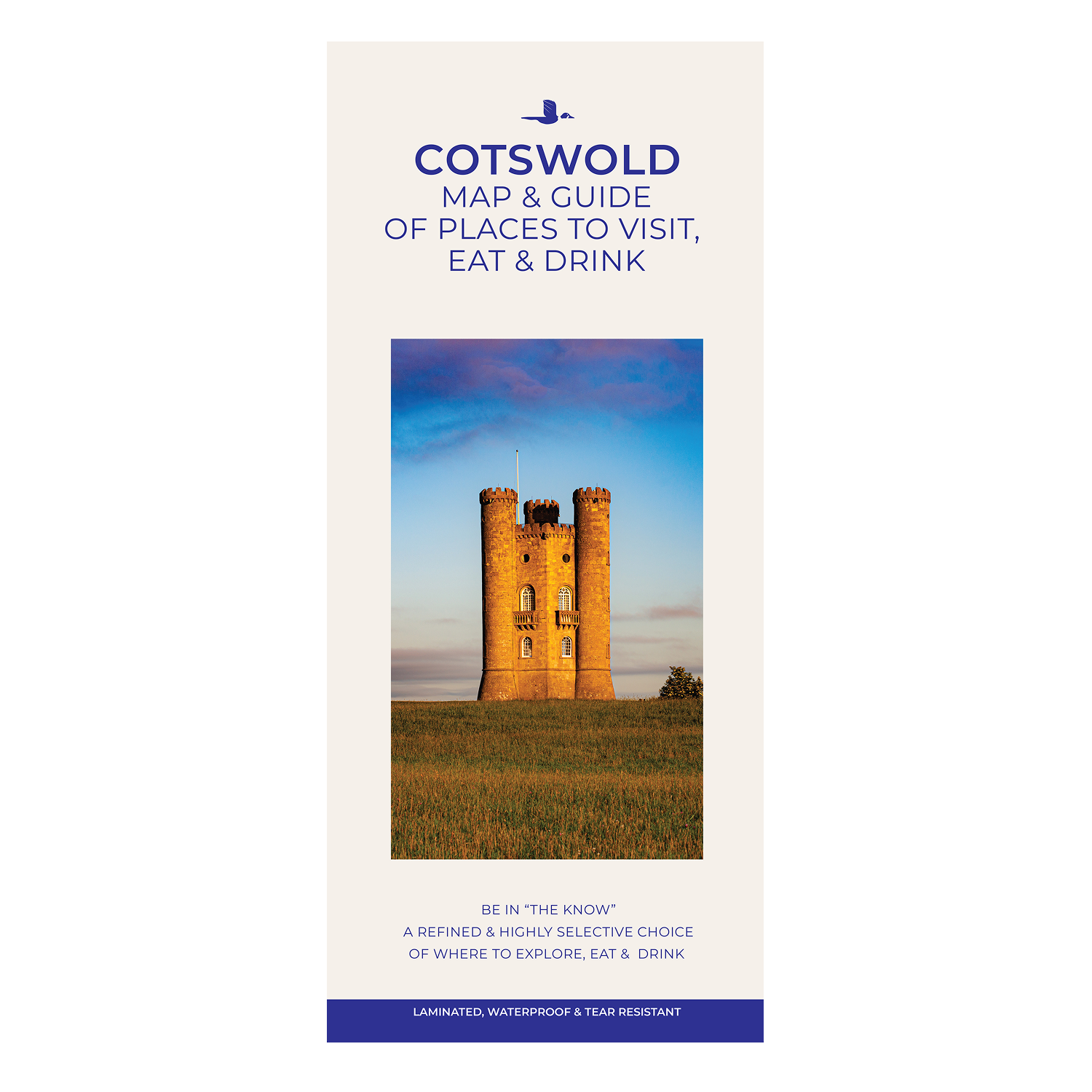
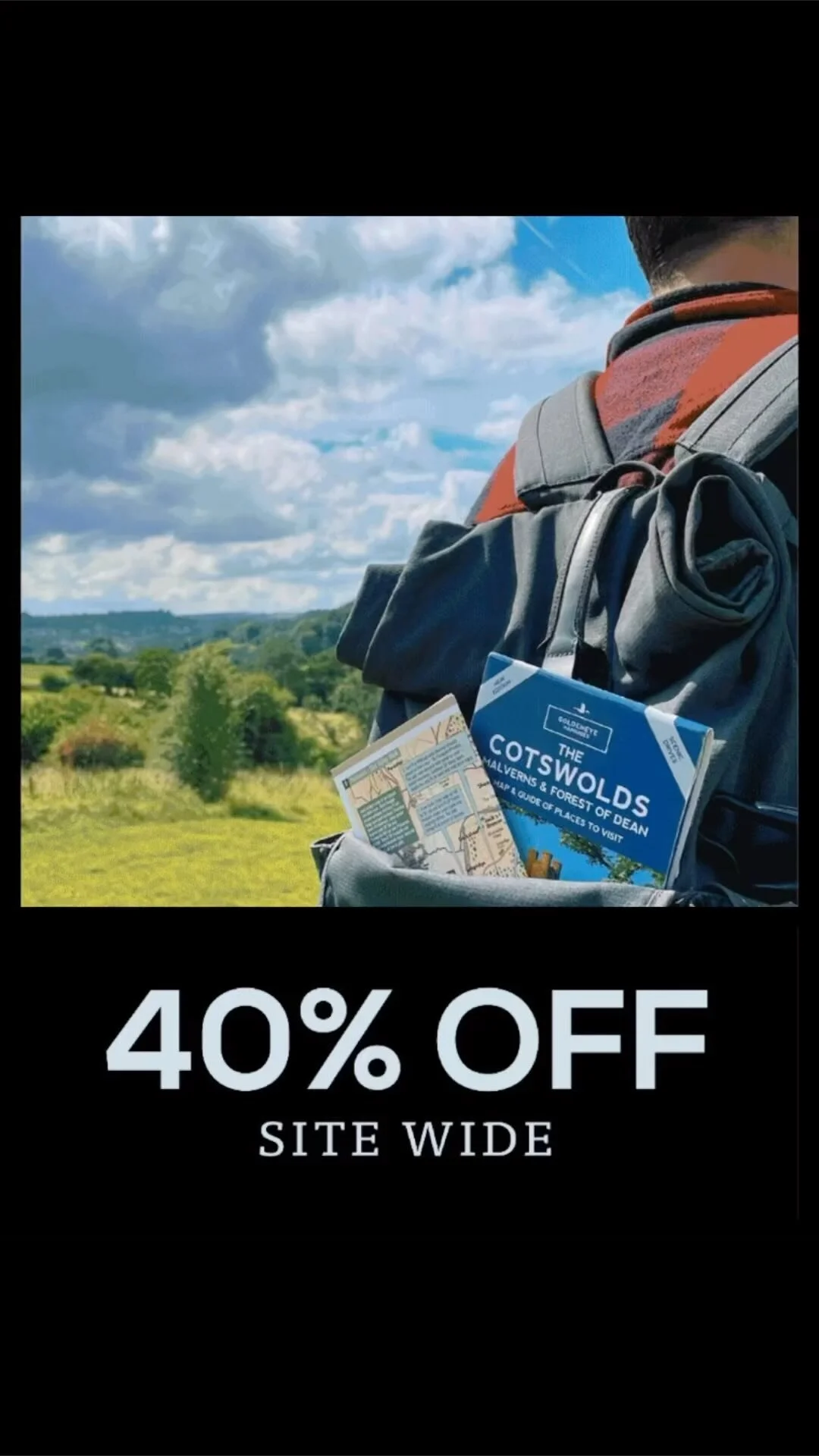
The Cotswolds, folded into your pocket. A single sheet, printed on both sides and concertina folded. One side is a large-format map of the region at 1:126,720, drawn from scratch by our own cartographers. Turn the sheet over and the entire reverse is given to more than thirty colour photographs and the writing that goes with them — the honey-stone villages, river valleys, gardens, manor houses and country pubs we think are actually worth the detour.
Printed on matt-laminated stock that's waterproof and tear-resistant, so it survives the glovebox, a damp morning on the Cotswold Way and a full fortnight of being folded and refolded.
What's inside
Independently designed cartography at 1:126,720 — no licensed base map, no compromises
Two-sided: map on one side, places to visit, eat and drink on the reverse
Single sheet, concertina folded to 285 × 125 × 5mm — opens flat, no binding
30+ colour photographs with accompanying text
Matt laminated both sides — waterproof and tear resistant
Opening times listed throughout
EAN 978-1-85965-312-8
Where to explore
Scenic villages · river valleys · arboreta and gardens · castles · great churches · manor houses and tithe barns · prehistoric and Roman remains · birds and wildlife · art galleries · rail and transport interest
Where to eat, drink and sleep
Cafés · bakeries · delis · country pubs · inns with rooms · country house hotels and spas · farm shops
Featured in this guide
The Pig in the Cotswolds · Thyme · The Bull, Charlbury · Woolpack Inn · Cotswold Guy · Hayles Fruit Farm · Bakery on the Water · Broadway Tower Country Park · Jolly Nice Farm Shop · Blenheim Palace · Bourton House Garden · Cerney House Gardens · Prinknash Abbey Park · Sudeley Castle · Stanway House · Westonbirt Arboretum · Chedworth Roman Villa · Hidcote Manor Garden · WWT Slimbridge · Hawkstone Brewery · Diddly Squat Farm Shop · Daylesford Organic Farm Shop · Burford Garden Company · The Classic Motor Hub · Cotswold Motoring Museum · The Wilson Art Gallery · Court Barn Museum · Corinium Museum · Gloucester Cathedral · Malmesbury Abbey · St Mary the Virgin, Fairford
Why Goldeneye
We don't take payment for inclusion and we don't run on algorithms. Every place in this guide is here because we went, we looked, and we thought you'd want to know about it. A fully comprehensive and genuinely independent guide to the Cotswolds, at your fingertips.
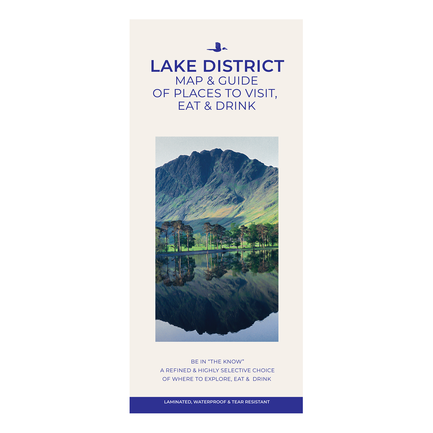
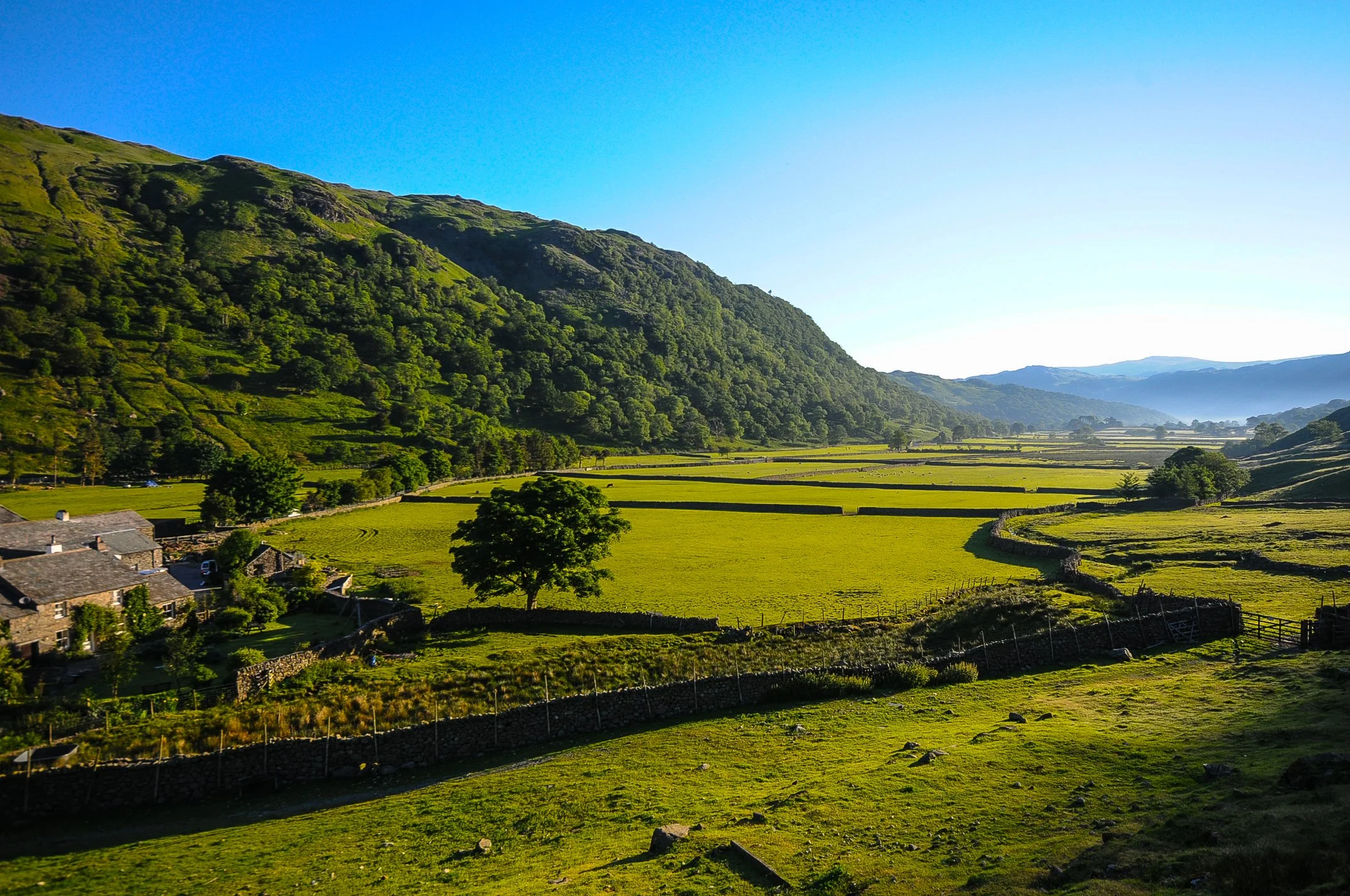
The Lake District, folded into your pocket. A single sheet, printed on both sides and concertina folded. One side is a large-format map of the National Park at 1:100,000, drawn from scratch by our own cartographers. Turn the sheet over and the entire reverse is given to more than thirty colour photographs and the writing that goes with them — the lakes and tarns, passes, waterfalls, short walks, lakeside cafés and dining pubs we think are actually worth the drive.
Printed on matt-laminated stock that's waterproof and tear-resistant — which, in Cumbria, is not a marketing line. It survives the rucksack, the rain and a full fortnight of being folded and refolded.
What's inside
Independently designed cartography at 1:100,000 — no licensed base map, no compromises
Two-sided: map on one side, places to visit, eat and drink on the reverse
Single sheet, concertina folded to 285 × 125 × 5mm — opens flat, no binding
30+ colour photographs with accompanying text
Matt laminated both sides — waterproof and tear resistant
Opening times listed throughout
EAN 978-1-85965-322-7
Where to explore
Ancient abbeys and castles · cycling trails and traffic-free family routes · great churches · historic buildings and gardens · mountain passes · prehistoric and Roman remains · mountains · lakes and tarns · short and easy walks · towns and villages · valleys and dales · waterfalls
Where to eat, drink and sleep
Boutique and chic hotels · country house hotels · dining pubs · farm shops · lakeside cafés · pub grub and ale houses · inns with rooms · rustic campsites · tent-with-a-view pitches
Featured in this guide
Askham Hall · Forest Side · Gilpin Hotel · L'Enclume · The Samling · Base Camp · Low Sizergh Barn · Chestnut House · Granny Dowbekin's Tea Rooms · Lingholm Kitchen · The Terrace at Brantwood · Drunken Duck Inn · Kirkstile Inn · Old Dungeon Ghyll · Wasdale Head Inn · The Quiet Site · Ullswater Steamers · Windermere Lake Cruises · Cartmel Priory · Dove Cottage · Blackwell · Holker Hall · Levens Hall · Muncaster Castle · Grizedale Forest Park · Ravenglass & Eskdale Railway · Lakeland Motor Museum · Abbot Hall Art Gallery · Honister Slate Mine
Why Goldeneye
We don't take payment for inclusion and we don't run on algorithms. Every place in this guide is here because we went, we looked, and we thought you'd want to know about it. A fully comprehensive and genuinely independent guide to the Lake District, at your fingertips.
Shop Guidebooks & Map-Guides
New 10th Edition
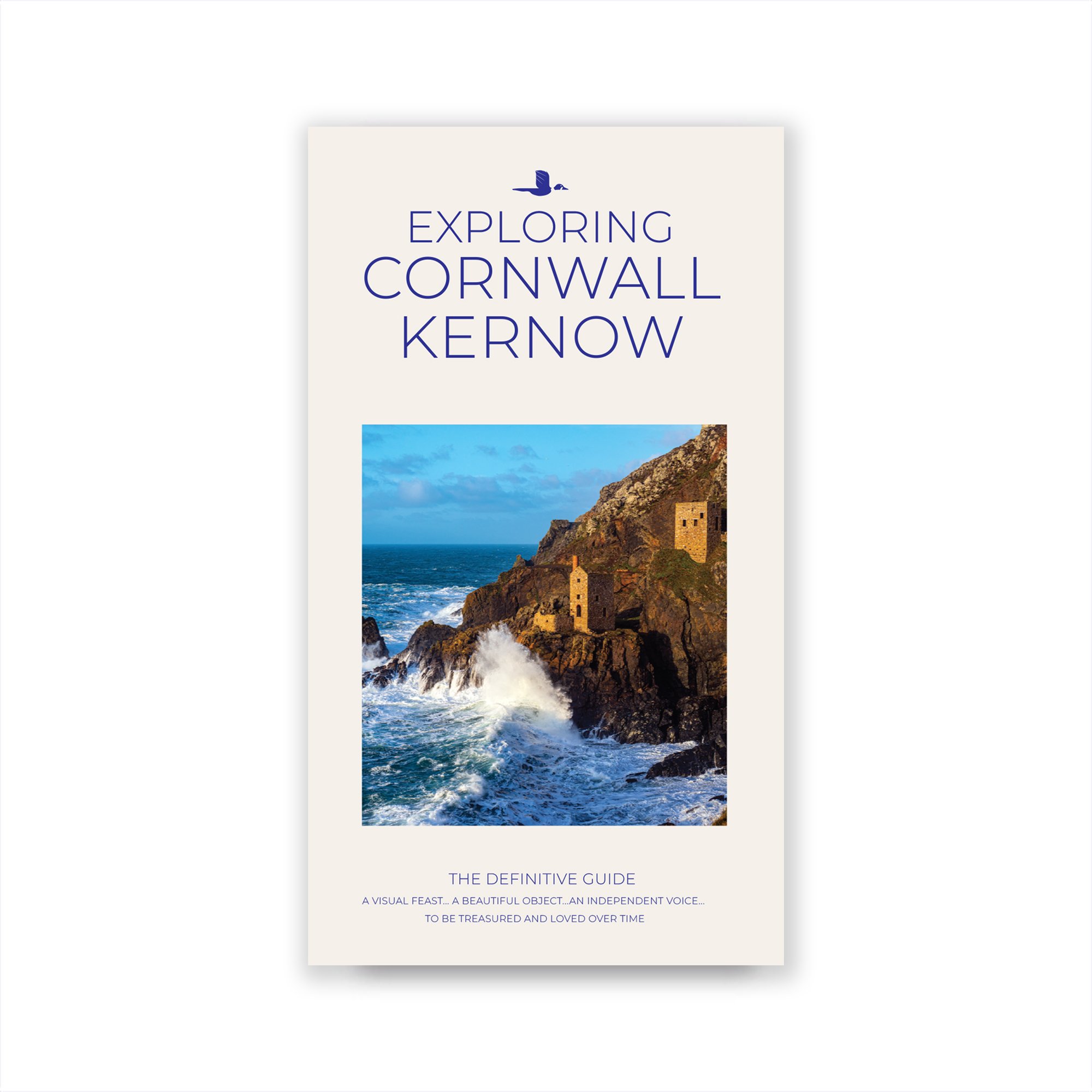
Cornwall — Kernow — in 240 pages, arranged the way you'll actually travel it. The county is split into map areas, each one opening with clear touring cartography and then working through what's in it: the coves and the surf beaches, the sections of coast path worth the walk, the harbour towns, the gardens, the galleries, and the kitchens and inns worth planning a whole day around.
Now in its tenth edition and revised through 2025. A book you read before you go and keep in the car once you're there.
What's inside
240 pages, revised tenth edition
The county divided into map areas, each opening with clear touring cartography
Colour photography throughout — [image count to confirm]
Where to eat, drink and sleep, set against the attractions nearest each base
Opening times and practical detail throughout
ISBN 978-1-85965-310-4

GOLDENEYE FLYING VISIT MINI-GUIDES
Experienced travel writer and Cornish resident, William Fricker, and his team at Goldeneye provide their opinion on the best beaches to visit, the best harbours to visit and the finest sections of the coastal footpath.
A full range of activities to get involved in; from buying art to visiting castles and gardens, to seeing wildlife, to renting a kayak or sailing dinghy.
A wide range of places to stay, from quirky B&Bs, to Glamping and smart boutique hotels.
A variety of pubs serving food, to specialist seafood restaurants and sea view cafes, as well as local farm shops and English vineyards.
EAN/ISBN Number: 9 78185965 309 8
Format: Paperback
Previous Published History: 9 78185965 251 0
Size: 190mm x 100mm x 7mm (spine)
Binding/Finishing: Section sewn limp bound
Extent: 112pp
Cornwall, folded into your pocket. A single sheet, printed on both sides and concertina folded. One side is a large-format map of the county at 1:126,720, drawn from scratch by our own cartographers. Turn the sheet over and the entire reverse is given to more than thirty colour photographs and the writing that goes with them — the beaches, harbours, gardens, galleries, kitchens and coastal pubs we think are actually worth the drive.
Printed on matt-laminated stock that's waterproof and tear-resistant, so it survives the boot of the car, a wet day on the South West Coast Path and a full fortnight of being folded and refolded.
What's inside
Independently designed cartography at 1:126,720 — no licensed base map, no compromises
Two-sided: map on one side, places to visit, eat and drink on the reverse
Single sheet, concertina folded to 285 × 125 × 5mm — opens flat, no binding
30+ colour photographs with accompanying text
Matt laminated both sides — waterproof and tear resistant
Opening times listed throughout
EAN 978-1-85965-321-0
Where to explore
Beaches and surf breaks · castles · the South West Coast Path · countryside walks · cycling trails and traffic-free family routes · farm shops · fun parks · galleries selling original art and craft · gardens · great churches · harbours · historic buildings · landscapes · mines and engine houses · museums · National Trust properties · nature trails · prehistoric sites · scenic villages · sea and wildlife safaris · steam railways · towns
Where to eat, drink and sleep
Bakeries · beach bars and cafés · boutique hotels · breweries and distilleries · fine dining · inns with rooms · pub grub and ale houses · restaurants with rooms · vineyards
Featured in this guide
Hotel Tresanton · Gurnard's Head · Cadgwith Cove Inn · Porthminster Café · Stones Bakery · Strong Adolfo's · Ardor · Argoe · Outlaw's Fish Kitchen · Paul Ainsworth at No. 6 · The Seafood Restaurant · Treguddick Distillery · The Moth & The Moon · Cast Café · Flora Café · New Yard Restaurant · Provedore · Truro Cathedral · Jamaica Inn · The Eden Project · The Lost Gardens of Heligan · Lanhydrock House · Great Cornish Food Store · Nancarrow Farm · Polgoon Vineyard · AK Wildlife Cruises · Tate St Ives · Newlyn Art Gallery · Cornwall Contemporary · Tresabenn Studio · Land's End
Why Goldeneye
We don't take payment for inclusion and we don't run on algorithms. Every place in this guide is here because we went, we looked, and we thought you'd want to know about it. A fully comprehensive and genuinely independent guide to Cornwall, at your fingertips.

North Cotswold Classic Walks
MAP GUIDE
∙ Ten Circular Walks per Map
∙ Laminated Waterproof
∙ Tear Resistant & Waterproof
∙ Circular Walks to and from pubs, hotels and tearooms
∙ Boxes of text with route instructions
∙ Regular navigational points of reference
∙ Easy to follow, easy to fold and unfold
∙ Walking the Easy-Way!
The Ideal Companion for exploring the Cotswolds scenic villages, ‘Wool’ towns, river valleys and, atypical English landscape.
Second Edition
Size: 120mm x 240mm
Concertina Fold from 24 Pages
Double-Sided A2 Sheet
Laminated, Waterproof & Tear Resistant
ISBN: 978-1-85965-299-2
GUIDEBOOKS
New edition coming March 2027
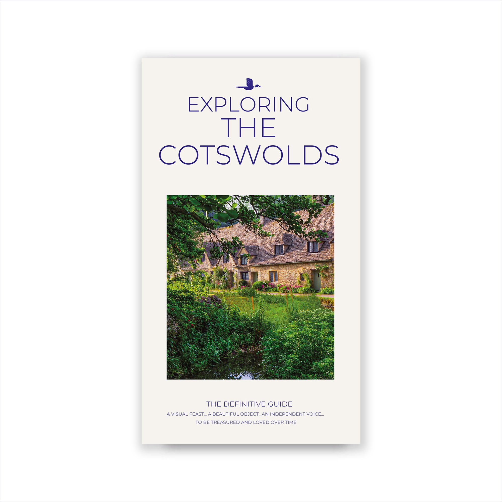
The Cotswolds across 240 pages, broken into map areas so you can see what's near where you're staying before you book a thing. Now in its seventh edition and revised through 2025: the honey-stone villages and river valleys, the arboreta and tithe barns, the Roman remains, the country pubs, the farm shops, and the handful of hotels genuinely worth the money.
It is a book you read before you go and keep in the car once you're there.
What's inside
240 pages, revised seventh edition
The region divided into map areas, each opening with clear touring cartography
Colour photography throughout — [image count to confirm]
Where to eat, drink and sleep, set against the attractions nearest each base
Opening times and practical detail throughout
ISBN 978-1-85965-312-8

GOLDENEYE FLYING VISIT MINI-GUIDES
Experienced Cotswold travel writer, William Fricker, and his team at Goldeneye provide their opinion on the best of the Cotswolds including the prettiest villages to visit…
A full range of activities to get involved in; from visiting manor houses and gardens, the magnificent churches and the dreamy river valleys.
A wide range of places to stay, from country inns, to smart boutique hotels, country house hotels and isolated camp sites.
A variety of pubs serving food, to delectable tearooms and delis, as well as farm shops and English vineyards.
EAN/ISBN Number: 9 78185965 308 1
Format: Paperback
Previous Published History: 9 78185965 252 7
RRP: £9.99
Size: 190mm x 100mm x 7mm (spine)
Binding/Finishing: Section sewn limp bound
Extent: 112pp
MAP-GUIDES
The Cotswolds, folded into your pocket. A single sheet, printed on both sides and concertina folded. One side is a large-format map of the region at 1:126,720, drawn from scratch by our own cartographers. Turn the sheet over and the entire reverse is given to more than thirty colour photographs and the writing that goes with them — the honey-stone villages, river valleys, gardens, manor houses and country pubs we think are actually worth the detour.
Printed on matt-laminated stock that's waterproof and tear-resistant, so it survives the glovebox, a damp morning on the Cotswold Way and a full fortnight of being folded and refolded.
What's inside
Independently designed cartography at 1:126,720 — no licensed base map, no compromises
Two-sided: map on one side, places to visit, eat and drink on the reverse
Single sheet, concertina folded to 285 × 125 × 5mm — opens flat, no binding
30+ colour photographs with accompanying text
Matt laminated both sides — waterproof and tear resistant
Opening times listed throughout
EAN 978-1-85965-312-8
Where to explore
Scenic villages · river valleys · arboreta and gardens · castles · great churches · manor houses and tithe barns · prehistoric and Roman remains · birds and wildlife · art galleries · rail and transport interest
Where to eat, drink and sleep
Cafés · bakeries · delis · country pubs · inns with rooms · country house hotels and spas · farm shops
Featured in this guide
The Pig in the Cotswolds · Thyme · The Bull, Charlbury · Woolpack Inn · Cotswold Guy · Hayles Fruit Farm · Bakery on the Water · Broadway Tower Country Park · Jolly Nice Farm Shop · Blenheim Palace · Bourton House Garden · Cerney House Gardens · Prinknash Abbey Park · Sudeley Castle · Stanway House · Westonbirt Arboretum · Chedworth Roman Villa · Hidcote Manor Garden · WWT Slimbridge · Hawkstone Brewery · Diddly Squat Farm Shop · Daylesford Organic Farm Shop · Burford Garden Company · The Classic Motor Hub · Cotswold Motoring Museum · The Wilson Art Gallery · Court Barn Museum · Corinium Museum · Gloucester Cathedral · Malmesbury Abbey · St Mary the Virgin, Fairford
Why Goldeneye
We don't take payment for inclusion and we don't run on algorithms. Every place in this guide is here because we went, we looked, and we thought you'd want to know about it. A fully comprehensive and genuinely independent guide to the Cotswolds, at your fingertips.

Including the Dartmoor & Exmoor National Parks
This book is different. It is an independent voice, as all entries are chosen on merit and merit alone. In a Digital Age where (travel) information is provided by advertising budgets. Herewith, a refreshing and enlightening take on what Devon has to offer the visitor and resident.
3rd Edition
240 Pages
130mm x 220mm
200+ Images (Photographs & Illustrations)
43 Pages of Touring Maps
Beaches, Coast Path, Harbours…
Scenic Villages, River Valleys, Woodland…
Castles, Gardens, Country Houses, Dartmoor & Exmoor…
Where To Stay, Eat & Drink, Which Inn or Pub and Coffee Shop to Enjoy…
Which Region Top Visit….
A BIG BOOK FOR A BIG COUNTY!
Praise for the 1st Edition:
“ This is both an attractive guidebook and a refreshingly different read…what marks this guide out in particular is the excellent use it makes of Goldeneye’s specialist mapping skills.” Devon Life Magazine
“In photography, layout and design, Goldeneye Guides look unbeatable” Sebastian Faulks
A visual feast - like no other guidebook!
ISBN 978-1-85965-287-9

- 4th Edition Now Available
- 112 pages
- 130mm x 220mm
- 25 Circular Routes
- A Double-Page Spread of Mapping for Each Walk
- 87 Colour Photographs
- Locator Map
- Matt Laminated Cover
With 25 circular walks, this book will help you find a base to escape from your car and enjoy a weekend of fresh air and exercise....
Some walks offer various route options and links to other walks.
How do you decide which walk to undertake?
Where are the best views? Where to find solitude? This book will guide you to find a walk that suits you, whether it be a pushchair, family, dog, woodland, bluebell or a pub crawl.
The maps are clear, and even if you find maps difficult to read, the instructions will get you round the walk.
- ISBN 9 78185965 260 2
The Lake District, folded into your pocket. A single sheet, printed on both sides and concertina folded. One side is a large-format map of the National Park at 1:100,000, drawn from scratch by our own cartographers. Turn the sheet over and the entire reverse is given to more than thirty colour photographs and the writing that goes with them — the lakes and tarns, passes, waterfalls, short walks, lakeside cafés and dining pubs we think are actually worth the drive.
Printed on matt-laminated stock that's waterproof and tear-resistant — which, in Cumbria, is not a marketing line. It survives the rucksack, the rain and a full fortnight of being folded and refolded.
What's inside
Independently designed cartography at 1:100,000 — no licensed base map, no compromises
Two-sided: map on one side, places to visit, eat and drink on the reverse
Single sheet, concertina folded to 285 × 125 × 5mm — opens flat, no binding
30+ colour photographs with accompanying text
Matt laminated both sides — waterproof and tear resistant
Opening times listed throughout
EAN 978-1-85965-322-7
Where to explore
Ancient abbeys and castles · cycling trails and traffic-free family routes · great churches · historic buildings and gardens · mountain passes · prehistoric and Roman remains · mountains · lakes and tarns · short and easy walks · towns and villages · valleys and dales · waterfalls
Where to eat, drink and sleep
Boutique and chic hotels · country house hotels · dining pubs · farm shops · lakeside cafés · pub grub and ale houses · inns with rooms · rustic campsites · tent-with-a-view pitches
Featured in this guide
Askham Hall · Forest Side · Gilpin Hotel · L'Enclume · The Samling · Base Camp · Low Sizergh Barn · Chestnut House · Granny Dowbekin's Tea Rooms · Lingholm Kitchen · The Terrace at Brantwood · Drunken Duck Inn · Kirkstile Inn · Old Dungeon Ghyll · Wasdale Head Inn · The Quiet Site · Ullswater Steamers · Windermere Lake Cruises · Cartmel Priory · Dove Cottage · Blackwell · Holker Hall · Levens Hall · Muncaster Castle · Grizedale Forest Park · Ravenglass & Eskdale Railway · Lakeland Motor Museum · Abbot Hall Art Gallery · Honister Slate Mine
Why Goldeneye
We don't take payment for inclusion and we don't run on algorithms. Every place in this guide is here because we went, we looked, and we thought you'd want to know about it. A fully comprehensive and genuinely independent guide to the Lake District, at your fingertips.
Cycling & Mountain Biking

EAN Number: 9 78185965302 9
Publication Dated: 1st May 2024, 4th Edition
Format: Map
Previous Published History: 9 781859 652725
RRP: £9.99
Size: 245mm x 125mm x 10mm (Spine)
Finish: Concertina Fold, Matt Laminated
Design: Double-sided A2 Sheet
Extent: 24pp
The Map Scale: 2 miles to 1 inch / 1: 126,720

EAN Number: 9 78185965303 6
Publication Dated: 1st May 2024, 10th Edition
Format: Map
Previous Published History: 9 78185965263 3
RRP: £9.99
Size: 245mm x 125mm x 10mm (Spine)
Finish: Concertina Fold, Matt Laminated
Design: Double-sided A2 Sheet
Extent: 24pp
The Map Scale: 1: 100 000

Discover the best off-road cycling routes in Dartmoor National Park with this expertly designed gravel and mountain bike map. Now in its 3rd edition (June 2025), this essential guide takes you through rugged moorland, ancient bridleways, and exhilarating descents, making it the perfect companion for your next ride.
Key Features:
10 Off-Road Cycling Routes – Ideal for gravel biking & mountain biking
Locator Map – Easily navigate the best Dartmoor bike trails
18 Stunning Colour Photographs – Showcasing the landscapes & terrain
Durable & Weatherproof – Matt laminated, double-sided A2 concertina fold for easy use
Lightweight & Portable – Perfect for bikepacking & adventure cycling
EAN: 978-1-85965-298-5 | RRP: £9.99 | Size: 240mm x 120mm
Explore Dartmoor’s best gravel and MTB routes. From challenging climbs to scenic trails across open moorland, this cycling map is your go-to guide for adventure.
🚴 Plan your next ride today!

Explore the best off-road cycling routes in Exmoor, North Devon, and The Quantocks with this expertly designed gravel and mountain bike map. Now in its 3rd edition (June 2025), this definitive trail guide features:
Key Features:
10 Off-Road Cycling Routes – Ideal for gravel biking & mountain biking
Locator Map – Easily navigate the best Exmoor, North Devon & Quantocks bike trails
18 Stunning Colour Photographs – Showcasing terrain, landscapes & key landmarks
Durable & Weatherproof – Matt laminated, double-sided A2 concertina fold for easy use
Lightweight & Portable – Perfect for bikepacking & adventure cycling
ISBN: 978-1-85965-114-8 | RRP: £9.99 | Size: 240mm x 120mm
Find the best gravel and MTB routes in Exmoor, North Devon & The Quantocks. Whether you’re tackling rugged climbs, scenic moorland trails, or exhilarating descents, this cycling map is your ultimate guide.
🚴 Plan your next ride today!

Publication Date: May 2021
RRP £7.99
5th Edition
Size: 112mm x 240mm
Matt Laminated for Foul-Weather Protection
Concertina Fold
ISBN No. 978185965 184 1

Publication Date: April 2017
RRP £7.99
4th Edition
Size: 112mm x 240mm
Matt Laminated for Foul-Weather Protection
Concertina Fold
ISBN No. 978185965 247 3

Publication Date: May 2015
RRP £6.99
2nd Edition
Size: 112mm x 240mm
Matt Laminated for Foul-Weather Protection
Concertina Fold
ISBN No. 978185965 222 0

Publication Date: April 2017
RRP £7.99
6th Edition
Size: 112mm x 240mm
Matt Laminated for Foul-Weather Protection
Concertina Fold
ISBN No. 978185965 224 4

The joy and freedom of cycling country lanes and byways
Make your own route, or follow our commissioned routes, the National Cycle Network and the trails.
Two landscapes in one National Park: the Dark Peak's gritstone moors and crags in the north, dropping south into the pastoral White Peak and the Derbyshire Dales. Between them, some of the best country-lane cycling in Britain — and in the Tissington, Manifold and High Peak Trails, three of the longest converted railway lines in the country, level and traffic-free.
On the map: commissioned routes, the National Cycle Network and traffic-free trails · ancient monuments, churches and historic buildings · gardens and scenic villages · places to eat, drink and stay.
The map itself: laminated, waterproof, tear-resistant, altitude layering, and a scale made for touring.
"Perhaps you need a better map, or, more accurately, you need the collection of Country Lanes Cycling Guides from Goldeneye… carefully prepared to keep you on the bendy and narrow, rather than the fast and four-lane." — Sunday Times Travel
The Peak is my own patch. I moved here to climb forty years ago, and when cragging lost its hold, mountain biking took its place and I read the landscape a different way. I served my apprenticeship with Andy Birkby and Kim George, who knew every lane and bridleway by heart and rarely looked at a map. Much of what's here I owe to them.
Happy cycling — Al Churcher
Size: 245mm x 125mm x 10mm (Spine)
Finish: Concertina Fold, Matt Laminated
Design: Double-sided A2 Sheet
The Map Scale: 1: 100, 000
EAN Number: 9 78185965304 3
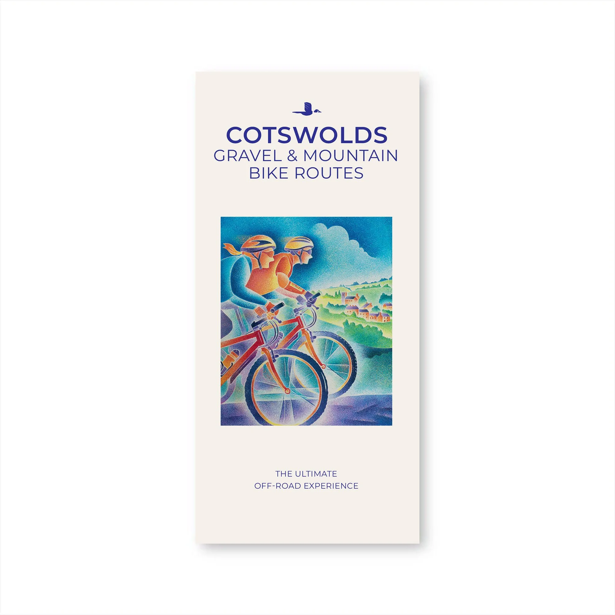
Discover the best off-road cycling routes in the Cotswolds with this expertly designed gravel and mountain bike map. Now in its 6th edition (June 2025), this essential guide takes you through rugged moorland, ancient bridleways, and exhilarating descents, making it the perfect companion for your next ride.
Key Features:
10 Off-Road Cycling Routes – Ideal for gravel biking & mountain biking
Locator Map – Easily navigate the best Cotswold bike trails
18 Stunning Colour Photographs – Showcasing the landscapes & terrain
Durable & Weatherproof – Matt laminated, double-sided A2 concertina fold for easy use
Lightweight & Portable – Perfect for bikepacking & adventure cycling
EAN: 978-1-85965-298-5 | RRP: £9.99 | Size: 240mm x 120mm
Explore the Cotswold’s best gravel and MTB routes. From challenging climbs to scenic trails across open moorland, this cycling map is your go-to guide for adventure.
🚴 Plan your next ride today!

Coming Spring 2023
RRP £7.99 Sold Out
2nd Edition
Size: 112mm x 240mm
Matt Laminated for Foul-Weather Protection
Concertina Fold
ISBN No. 978185965 277 0

The joy and freedom of cycling country lanes and byways
Make your own route, or follow our commissioned routes, the National Cycle Network and the trails.
Rolling moorland, a steep escarpment to the north and west, a rugged indented coast to the east, and a gentler slope south into the Vales of Mowbray and Pickering. Streams cut the moors into dales, each with its own character: scenic Ryedale, lonely Bransdale, the daffodils of Farndale, the industrial echoes of quiet Rosedale. To the north the Esk runs east to Whitby. To the south the Howardian Hills and the Wolds give rolling lanes between picturesque villages, and the Vale of Pickering an easy, flat ride through pastoral country.
The choice of routes here can be bewildering — National Park, Forestry Commission and district councils all promoting their own. Good for cycling, confusing for cyclists. Our job is to put them on one clear map you can actually follow.
Recommended routes:North Sea Cycle Route NCN 1 · Moor to Sea Cycle Route · White Rose Route NCN 65 · Yorkshire Wolds Cycle Route · Boltby Forest · Cleveland Way · Dalby Forest Trails · Scarborough to Whitby Railway Path
On the map: commissioned routes, the National Cycle Network and traffic-free trails · ancient monuments, abbeys and historic buildings · gardens and scenic villages · places to eat, drink and stay.
The map itself: laminated, waterproof, tear-resistant, altitude layering, and a scale made for touring.
"Perhaps you need a better map, or, more accurately, you need the collection of Country Lanes Cycling Guides from Goldeneye… carefully prepared to keep you on the bendy and narrow, rather than the fast and four-lane." — Sunday Times Travel
6th Edition
Size: 112mm x 240mm
Matt Laminated for Foul-Weather Protection
Concertina Fold
ISBN No. 978185965 276 3

Cotswold Classic Walks
With 25 circular walks, this book will help you find a base to escape from your car and enjoy a weekend of fresh air and exercise...